
The Kingdom of Bhutan is a small landlocked country located in the foothills of the Himalayan mountain range, sandwiched between the People's Republic of China in the north and the Republic of India in the south. Almost...More

The Kingdom of Bhutan is a small landlocked country located in the foothills of the Himalayan mountain range, sandwiched between the People's Republic of China in the north and the Republic of India in the south.
Almost completely cut off for centuries, it has tried to let in some aspects of the outside world while fiercely guarding its ancient traditions.
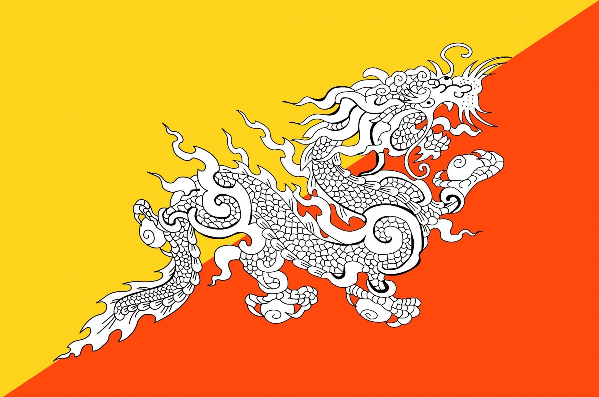
The Bhutanese name for Bhutan, Druk Yul, means "Land of the Thunder Dragon" and it only began to open up to outsiders in the 1970s.
The Wangchuck hereditary monarchy has wielded power since 1907. But Bhutan became a two-party parliamentary democracy after elections in 2008.
Location:
Southern Asia, between China and India
Geographic coordinates:
27 30 N, 90 30 E
Map references:
Asia
Area:
total: 38,394 sq km
country comparison to the world: 137
land: 38,394 sq km
water: 0 sq km
Area - comparative:
about one-half the size of Indiana
Land boundaries:
total: 1,075 km
border countries: China 470 km, India 605 km
Coastline:
0 km (landlocked)
Maritime claims:
none (landlocked)
Climate:
varies; tropical in southern plains; cool winters and hot summers in central valleys; severe winters and cool summers in Himalayas
Terrain:
mostly mountainous with some fertile valleys and savanna
Elevation extremes:
lowest point: Drangeme Chhu 97 m
highest point: Gangkar Puensum 7,570 m
Natural resources:
timber, hydropower, gypsum, calcium carbonate
Land use:
arable land: 2.3%
permanent crops: 0.43%
other: 97.27% (2005)
Irrigated land:
400 sq km (2008)
Total renewable water resources:
95 cu km (1987)
Freshwater withdrawal (domestic/industrial/agricultural):
total: 0.43 cu km/yr (5%/1%/94%)
per capita: 199 cu m/yr (2000)
Natural hazards:
violent storms from the Himalayas are the source of the country's name, which translates as Land of the Thunder Dragon; frequent landslides during the rainy season
Environment - current issues:
soil erosion; limited access to potable water
Environment - international agreements:
party to: Biodiversity, Climate Change, Climate Change-Kyoto Protocol, Desertification, Endangered Species, Hazardous Wastes, Ozone Layer Protection
signed, but not ratified: Law of the Sea
Geography - note:
landlocked; strategic location between China and India; controls several key Himalayan mountain passes
Population:
763,092 (2019)
country comparison to the world: 165
note: the Factbook population estimate is consistent with the first modern census of Bhutan, conducted in 2005; previous Factbook population estimates for this country, which were on the order of three times the total population reported here, were based on Bhutanese government publications that did not include the census
Age structure:
0-14 years: 25.8%
15-24 years: 18.81%
25-54 years: 43.07%
55-64 years: 6.03%
65 years and over: 6.29%
Median age:
total: 26.9 years
Population growth rate:
1.201% (2011 est.)
country comparison to the world: 98
Birth rate:
18.16 births/1,000 population (2016
country comparison to the world: 103
Death rate:
6.269 deaths/1,000 population
country comparison to the world: 129
Net migration rate:
0 migrant(s)/1,000 population (2011 est.)
country comparison to the world: 78
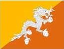
Country name:
conventional long form: Kingdom of Bhutan
conventional short form: Bhutan
local long form: Druk Gyalkhap
local short form: Druk Yul
Government type:
Constitutional Monarchy
Capital name::
Thimphu
geographic coordinates: 27 29 N, 89 36 E
time difference: UTC+6 (11 hours ahead of Washington, DC during Standard Time)
Administrative divisions:
20 districts (dzongkhag, singular and plural); Bumthang, Chhukha, Chirang, Daga, Gasa, Geylegphug, Ha, Lhuntshi, Mongar, Paro, Pemagatsel, Punakha, Samchi, Samdrup Jongkhar, Shemgang, Tashigang, Tashi Yangtse, Thimphu, Tongsa, Wangdi Phodrang
Independence:
1907 (became a unified kingdom under its first hereditary king)
National holiday:
National Day (Ugyen WANGCHUCK became first hereditary king), 17 December (1907)
Constitution:
ratified 18 July 2008
The economy, one of the world's smallest and least developed, is based on agriculture and forestry, which provide the main livelihood for more than 60% of the population. Agriculture consists largely of subsistence farming and animal husbandry. Rugged mountains dominate the terrain and make the building of roads and other infrastructure difficult and expensive. The economy is closely aligned with India's through strong trade and monetary links and dependence on India's financial assistance. The industrial sector is technologically backward, with most production of the cottage industry type. Most development projects, such as road construction, rely on Indian migrant labor. Model education, social, and environment programs are underway with support from multilateral development organizations. Each economic program takes into account the government's desire to protect the country's environment and cultural traditions. For example, the government, in its cautious expansion of the tourist sector, encourages visits by upscale, environmentally conscientious tourists. Complicated controls and uncertain policies in areas such as industrial licensing, trade, labor, and finance continue to hamper foreign investment. Hydropower exports to India have boosted Bhutan's overall growth. New hydropower projects will be the driving force behind Bhutan's ability to create employment and sustain growth in the coming years.
GDP (purchasing power parity):
$3.875 billion (2010 est.)
country comparison to the world: 167
$3.63 billion (2009 est.)
$3.34 billion (2008 est.)
note: data are in 2010 US dollars
GDP (official exchange rate):
$1.412 billion (2010 est.)
GDP - real growth rate:
6.7% (2010 est.)
country comparison to the world: 41
8.7% (2009 est.)
3% (2008 est.)
GDP - per capita (PPP):
$5,500 (2010 est.)
country comparison to the world: 142
$5,300 (2009 est.)
$4,900 (2008 est.)
note: data are in 2010 US dollars
GDP - composition by sector:
agriculture: 17.6%
industry: 45%
services: 37.4% (2009)
Telephones - main lines in use:
27,900
country comparison to the world: 183
Telephones - mobile cellular:
327,100 (2009)
country comparison to the world: 169
Telephone system:
general assessment: urban towns and district headquarters have telecommunications services
domestic: low teledensity; domestic service is poor especially in rural areas; mobile-cellular service available since 2003
international: country code - 975; international telephone and telegraph service via landline and microwave relay through India; satellite earth station - 1 Intelsat (2009)
Broadcast media:
state-owned TV station established in 1999; cable TV service offers dozens of Indian and other international channels; first radio station, privately launched in 1973, is now state-owned; 1 private radio station began operations in 2006 (2007)
Internet country code:
.bt
Internet hosts:
9,147 (2010)
country comparison to the world: 125
Internet users:
50,000 (2009)
country comparison to the world: 173
Airports:
2 (2010)
country comparison to the world: 197
Airports - with paved runways:
total: 1
1,524 to 2,437 m: 1 (2010)
Airports - with unpaved runways:
total: 1
914 to 1,523 m: 1 (2010)
Roadways:
total: 8,050 km
country comparison to the world: 141
paved: 4,991 km
unpaved: 3,059 km (2003)